mKart Marine Navigation cho Android
- REQUIRES ANDROID | Danh mục: Navigation
Xếp hạng 0
từ 0 Bình chọn |
$ Free
- REQUIRES ANDROID | Danh mục: Navigation
 |
 |
 |
 |
 |
 |
Tệp APK (Bộ gói Android) là tệp thô của ứng dụng Android. Tìm hiểu cách cài đặt mkart-marine-navigation.apk tệp trên điện thoại của bạn trong 4 bước đơn giản:
Đúng. Chúng tôi cung cấp một số bản sao tải xuống Apk an toàn nhất để nhận mKart Marine Navigation apk.
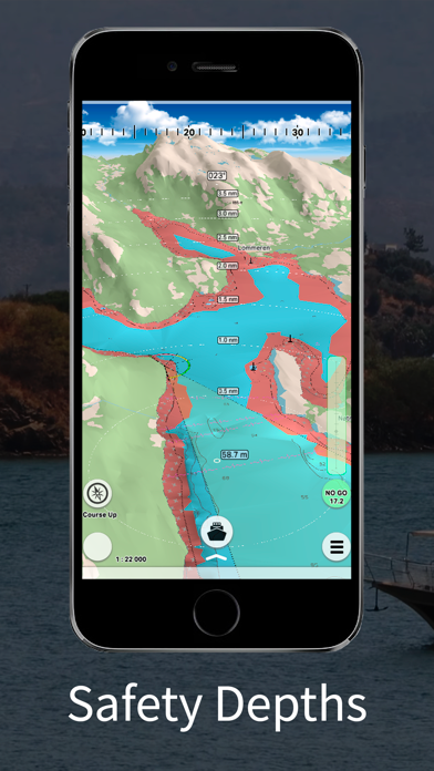
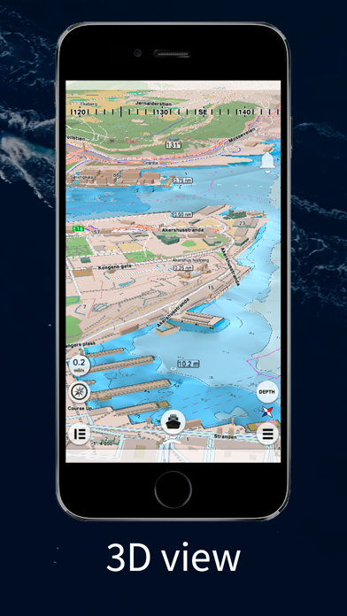
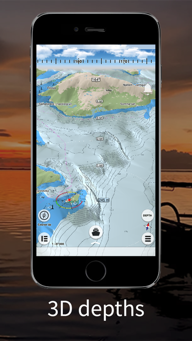
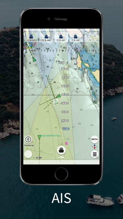
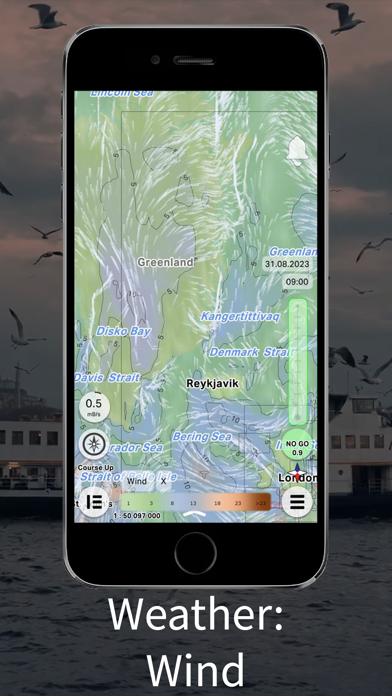
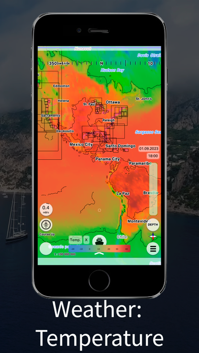
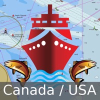
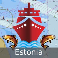
mKart 3D marine App is for safe and comfortable navigation. Product Highlights: WEB CONSOLE: E-shop; ENCs and cartographic products Catalogue; Portfolio optimization; Fleet management; Roots and tracks; Data exchange; Accounting; SAFETY IS IN FOCUS: Automatic routing and NO-GO Area display; Dangerous depths and objects automatic control. Safe sailing alternative and recommendations; Meeting points and hazardous traverses calculations. Background monitoring: dangers’ and ships’ alerts, all along the route. Apple watch support. DOCKING: Click on the chart, select the location and follow the docking path. 3D MARINE AND OSM CHARTS: 3D marine and OSM charts are uploaded and displayed automatically. 3D sea floor, land’s relief, 3D buildings, ships and infrastructure models contribute to better seafarers orientation and awareness. FREE NOAA ENCs: Online NOAA nautical charts are being installed automatically via Internet by customer’s position or while browsing and stored for off-line use. Updating is performed in the same way. PRIMAR ENCs: You can buy PRIMAR electronic charts for the whole world directly in the app. SMART PANELS: Swipe from below and from side to side. Profiles of seabed relief, safety path simulator, docking. MARINE ROUTE PLANNER: Save time with integrated sea and river auto routes functionality. Safety checks is implemented along with route monitoring functionality and warning system. NO GO ZONE: Display safety area is filled up graphically on the sea map by only safe depth. Safety zone is calculated trough 3D sea bottom model. MARINE TRAFFIC: Marine traffic data can be obtained from open AIS streams over Internet to display and identify dangerous targets. COMPASS MODE: Get a quick look around while boat navigation with advanced VR option for better orientation and using visual aids for navigation effectively. SEARCH: Search all objects and information on ENC S-57 charts trough SW and data via universal search function. MARINE WEATHER: mKart online services allows to deliver highly detailed weather information and forecast. TRACKS AND WAYPOINTS: PLT and GPX import and export, recording and displaying on the chart.
Apk Mirror 1: : Tải về APK

|

|

|

|

|

|

|

|

|

|
|
|
|

|

|

|
|

|

|
|

|

|

|

|


